GIS platform
GIS platform
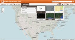
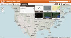
Geospatial Corporation has unveiled its newest version of GeoUnderground™, a proprietary cloud-based GIS platform custom designed around the Google Maps API and Google Maps Engine. The technology is a software-as-a-service (SAS) model developed exclusively for web-based multi-users for underground and aboveground infrastructure data management and decision management applications. Solutions built on the Portal enable assigned users to organize accurate 3D pipeline positional information, geo-referenced CCTV, leak detection, and corrosion, and use that data to understand complex business processes, answer questions, solve problems, and plan ahead.
Geospatial Corporation
www.geospatialcorporation.com

