Infrastructure software
Infrastructure software
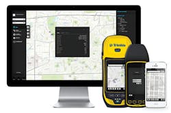
Trimble has introduced the latest version of its smart water infrastructure mapping and work management cloud software, Trimble Connect™ for Water version 1.9. The geographic information system (GIS) centric software-as-a-service (SaaS) adds real-time, centimeter-level horizontal and vertical GNSS accuracy for capturing 3D asset positions. The software leverages Trimble's GNSS rugged mobile devices and Esri's GIS technologies and includes a suite of applications that allows water, wastewater and stormwater utilities to accurately locate, inventory and visualize their infrastructure assets and increase operations and maintenance efficiency.
Trimble Water
www.trimblewater.com

